Your source for natural, travel, and cultural Art, Photography, Video, and Media ...

Welcome to our collection of photos and imagery from sacred Ireland. Sacred landscapes, faerie mounds, hillforts, ringforts, raths, faerie trees, wishing trees, spiritual landscapes, holy wells, sacred springs, monuments, and ruins. Adventure with us around the sacred sites and holy spots in Ireland and the Faerie Realms in our story telling, myth making Chronicles. If you want to read about our travel adventures, visit our Travel page, our story telling in our Chronicles, or the science in our Science blog.

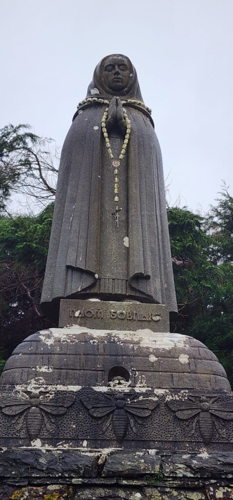
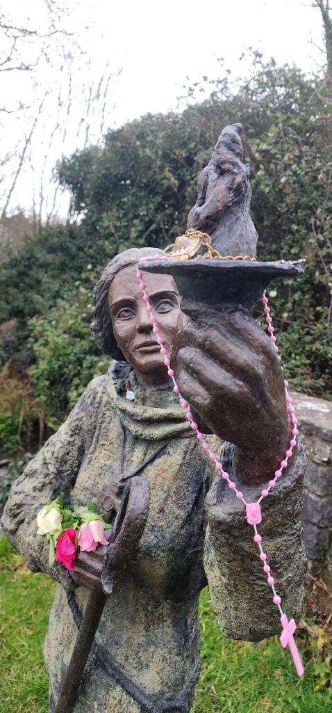
Tiveragh Fairy Hill (Cushendall)

Tiveragh Hill / Fairy Hill of Cushendall, Northern Ireland. June 2, 2012: Irish Folklore Quest – Northern Ireland, UK. (c) 2012 – photography by Leaf McGowan/Thomas Baurley
 

The Tiveragh Fairy Hill Cushendall, Northern Ireland

Legend and lore have it that this very broad-sided hill with steep sides overlooking the small village of Cushendall in Northern Ireland is the gateway to Tir na nOg. A place very well known locally to be haunted by faeries, leprechauns, elves, and pixies … this giant hill is a natural fortress all on its own and easily seen to be claimed as a stronghold by the fae.

Fairy tales mention many stories about it rising on pillars during the twilight evening with a glimmering merriment of faeries frolicking and dining. Many believe that the wee folk live in this hill accessed by a nearby cave. As the warning goes, if ye are mortal, regardless of how appeasing the faerie music may sound, if you wander within, you’ll never be seen again on this plane of existence. Time holds a whole different rhythm in Faerieworlds.

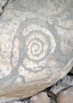
We, however, of fae persuasion, did venture up the hill at the turn of twilight just as the sun went down. We spied the hill with visions of faerie impressions while across the valley atop Ossian’s Grave – the Megalithic tomb believed to be the burial spot of the fabled poet and bard Oisin. Now Oisin was lured into fae, into Tir na nOg, where he lived until he requested to return to the land of mortals to visit his family. Of course due to faerie time, he returned several hundred years later to find them all gone and deceased. He fell off his faerie steed and became a blind old man wandering these fields, eventually dying.

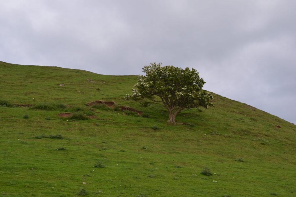
If the faerie tale is accurate, this would be the hill he would have ridden out of, and across the valley would have been his grave overlooking it … curious and more curious. Midway along the way up the base of the hill is one of the most magnificent Faerie Thorn Trees I’ve ever encountered. As usual with these faerie hills, I always find a wee hole just big enough for the Victorian-sized fae to enter within, usually lined with heavy rocks, making it look peculiarly like a miniature mine rather than an animal hole.

We climbed atop as the sun went down, empowered by the feelings of the ancient ones. Archaeologically, though, this may be a massive hillfort. I’m looking for those records and will post my findings here.

And their playing pitch was hardly as big As my Uncle Barney’s potato rig; And me there watchin’ them puck and clout At the back o’ the wall with my eyes stuck out. When all at once, like the squeal of a hare, A wee voice shouted, “Who’s that up there?” And a bit off a thing about nine – inch tall Came climbing up to the top of the wall. And he stood there; he stood about pot -size With his two wee fingers up at my eyes, And its God’s own truth that I’m speakin’ mind ye, “Get out o’ that,” says he, “or I’ll blind ye!” Aye that’s what he said, “I’ll blind ye,” says he, And by Jing what he said was enough for me, Did I run? Aye surely; I didn’t miss – And I haven’t seen Tiveragh from that to this. ~ H.Browne
The Fairy Hill Tiveragh is a fairy hill and near to Cushendall, And nobody goes there at night, no nobody at all. The hill is small, the sides are steep. And I have heard it said That flickering lights go in and out While everyoneÂ’s in bed. And on the top two hawthorns grow, A white one and a red. ~ John Irvine Desmond

~ Yours truly, Leaf McGowan

Tiveragh Hill / Fairy Hill of Cushendall, Northern Ireland
 

(more…)

Continue Reading
Hag of Beara Stone
Cailleach Bherra, Hag of Beara, stone ritual site, ring of Beara, county Kerry, Ireland. Tuesday, 19 December 2023. Adventures in County Kerry, Ireland. Photos by Thomas Baurley, Techno Tink Media.
Hag of Beara Stone

The Hag of Beara Stone or An Chailleach Bhéara by Thomas Baurley, Folklorist and Archaeologist, Techno Tink, LLC https://technowanderer.com/hag-of-beara-stone/ https://archaeologyfinds.com/?p=305 https://technotink.net/lore/?p=4268 Ring of Beara, County Kerry/County Cork, Ireland Driving the…

Continue Reading
Ballycrovane Ogham Stone of Beara
The Ogham Stone, ring of Beara, county Kerry, Ireland. Tuesday, 19 December 2023. Adventures in County Kerry, Ireland. Photos by Thomas Baurley, Techno Tink Media.
Ballycrovane Ogham Stone of Beara

Ballycrovane Ogham Stone or Beara Ogham Stone (Béal A’Chorraigh Bháin) Co. Cork, Southern Ireland Irish grid ref: V 6569 5291 https://archaeologyfinds.com/?p=271 https://technotink.net/lore/?p=4234 At this point in my journey, I was…

Continue Reading
Uragh Stone Circle and Famine Cottage
The Uragh Stone Circle, Ring of Kerry, Kerry County, Ireland. Tuesday, 19 December 2023. Adventures in County Kerry, Ireland. Photos by Thomas Baurley, Techno Tink Media.
Uragh Stone Circle and Famine Cottage

URAGH STONE CIRCLE GPS: 51.81157, -9.69532 Coordinates: 51°48′42.23″N 9°41′37.74″W Map Ref: V8311763439 Discovery Map Number: D84 Latitude: 51.811550N Longitude: 9.695514W near Gleninchaquin Park, Beara Peninsula, County Kerry, Ireland While driving…

Continue Reading
Gap of Dunloe
The Gap of Dunloe, Ring of Kerry, Kerry county, Ireland. Tuesday, 19 December 2023. Adventures in County Kerry, Ireland. Photos by Thomas Baurley, Techno Tink Media.
Gap of Dunloe

GAP OF DUNLOE, County Kerry, Ireland  

Gap of Dunloe, County Kerry, Ireland March 28, 2024, by Thomas BaurleyWhile driving the scenic tour called the “Ring of Kerry,” I gave the infamous “Gap of Dunloe” a gander. Named after the River Loe that runs through it, the “Gap of Dunloe” is derived from the Irish “Dún Lóich,” meaning ‘Lóich’s stronghold’ or “gap of the little hollow.” Glaciers forged this narrow mountain pass during the last ice age 25,000 years ago. It is quite a stunning off-the-beaten-trail trek. It was created from the Purple Mountain and MacGillycuddy Reeks glacial flows. Geologically, the pass is north-south oriented between the Old Red Sandstone mountain ranges of the MacGillycuddy’s Reeks on the west and the Purple Mountain Group on the east. The highest point is at the Head of the Gap at 241 meters.
 
Within is Loe River cutting the gap, which is part of its namesake. Starting at Kate Kearney’s Cottage, one takes a seemingly one-lane narrow golf-cart-sized road (two-way traffic with little to no pullovers to let people pass) and descends into the mysterious “Black Valley.” One can see five lakes along the route—Coosaun Lough, Black Lake, Cushnavalley Lake, Auger Lake, and the Black Lough.The trek is not advisable by auto during tourism, but one can get away with it like I did during the winter/off-season months. Most hike or walk up the road from Kate Kearney’s cottage to the old “Wishing Bridge.” The road runs approximately 11 km from north to south. Some hire a horse-drawn wagon to go through the pass and return via a boat back to Killarney from Lord Brandon’s cottage at the other end. Others take the grueling bicycle run that’ll take in your day.It is said that the first leader of the Fir Bolg, known as “Loich,” had his stronghold here, According to the Annals of Clonmacnois, Keating, and the Lebor Gabála Érenn (LGE). Loich, or more appropriately… Deala (or Dela) Mac Lóich, was the father of the five chieftains of the returning Fir Bolg (Slainghe, Gann, Genann, Seangann, and Rudhraighe) who conquered Ireland before the Milesians and Tuatha de Danann arrived on the Isle. The Fir Bolg divided Ireland into five provinces, each ruled by one brother. This is estimated to have occurred for 37 years from 3266 – 3303 B.C.E. According to the Annals of the Four Masters. They lost their rule once defeated by the Tuatha Dé Danann.
 
Also of historical notoriety is Kate Kearney’s Cottage. An enchanting mixologist named Kate lived here from 1845 to 1849 and was well-reputed for her elixir-called poitin. While illegal, she made it and sold it to the travelers who ventured through the gap to give them the strength they needed to endure the journey.The Wishing Bridge is a historic stone bridge with picturesque scenery that attracts many tourists, offerings, and coins. It is said that any wishes requested at the bridge always come true.
The Wishing Bridge, The Gap of Dunloe, Ring of Kerry, Kerry County, Ireland. 
(more…)

Continue Reading
Dunbeg Ring Fort, Co Kerry, Ireland

Dún Beag Fort Visitor Centre https://dunbeagfort.com/history-of-dun-beag-fort/  Fahan, Dingle, Co. Kerry, Ireland : Tel: +353 66 915 9070 : Email: info@dunbeagfort.com During my December 2023 jaunt along the Dingle Peninsula in…

Continue Reading
Tobar Ghobanatan
The Tobar Ghobnatan Holy Well, Ballvourney, Ireland. Monday, 18 December 2023. Adventures in County Cork and County Kerry, Ireland. Photos by Thomas Baurley, Techno Tink Media.
Tobar Ghobanatan

Tobar Ghobanatan Holy Well and Shrine Ballyvourney, County Cork, Ireland https://wells.naiads.org/tobar-ghobnatan-holy-wells-st-abbans-well-and-st-gobnaits-well/ 1ST WELL: ST. ABBAN’S WELL OR ST. GOBNAIT’S WELL As you drive up to the Tobar Ghobnatan Statue, Well,…

Continue Reading
  • 1
  • 2
Close Menu
Close Panel